We are committed to delivering reliable, integrated, and high-quality geoscience and surveying solutions to support various industries through innovation, professionalism, and trusted expertise.
With strong collaboration and continuous development, PT GEN is ready to become your trusted partner in achieving efficient and sustainable project success.
Board of Directors
PT. Geosains Enjiniring Nusantara
About us
PT. Geosains Enjiniring Nusantara (PT GEN).
Committed to administrative accountability and ultimate professionalism, PT GEN holds full industry compliance through SIUJP, SPDA, and CIVD Migas credentials.
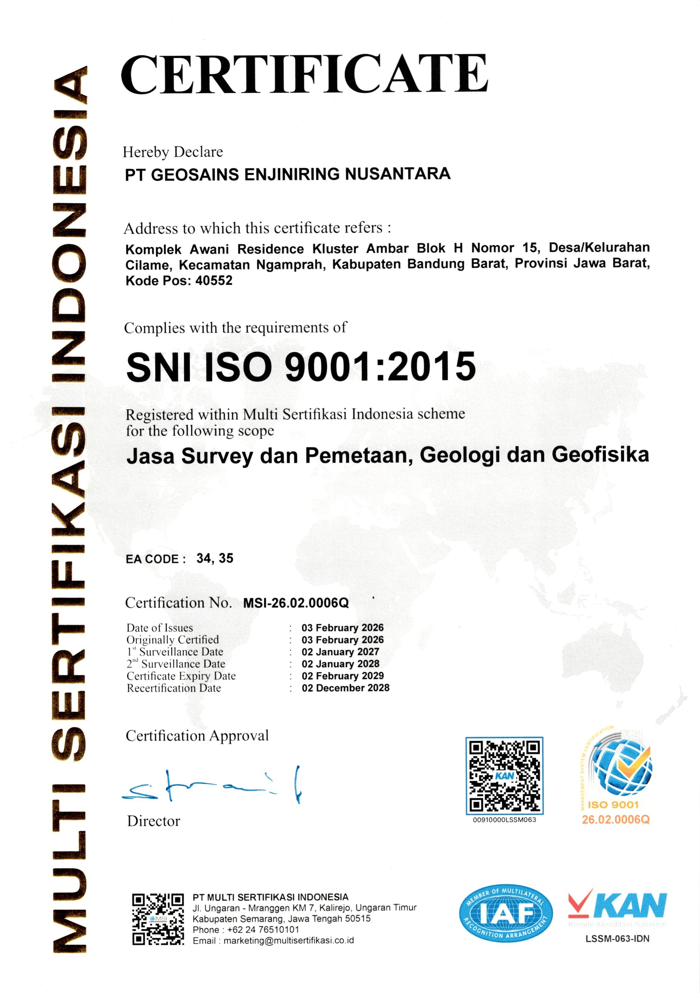
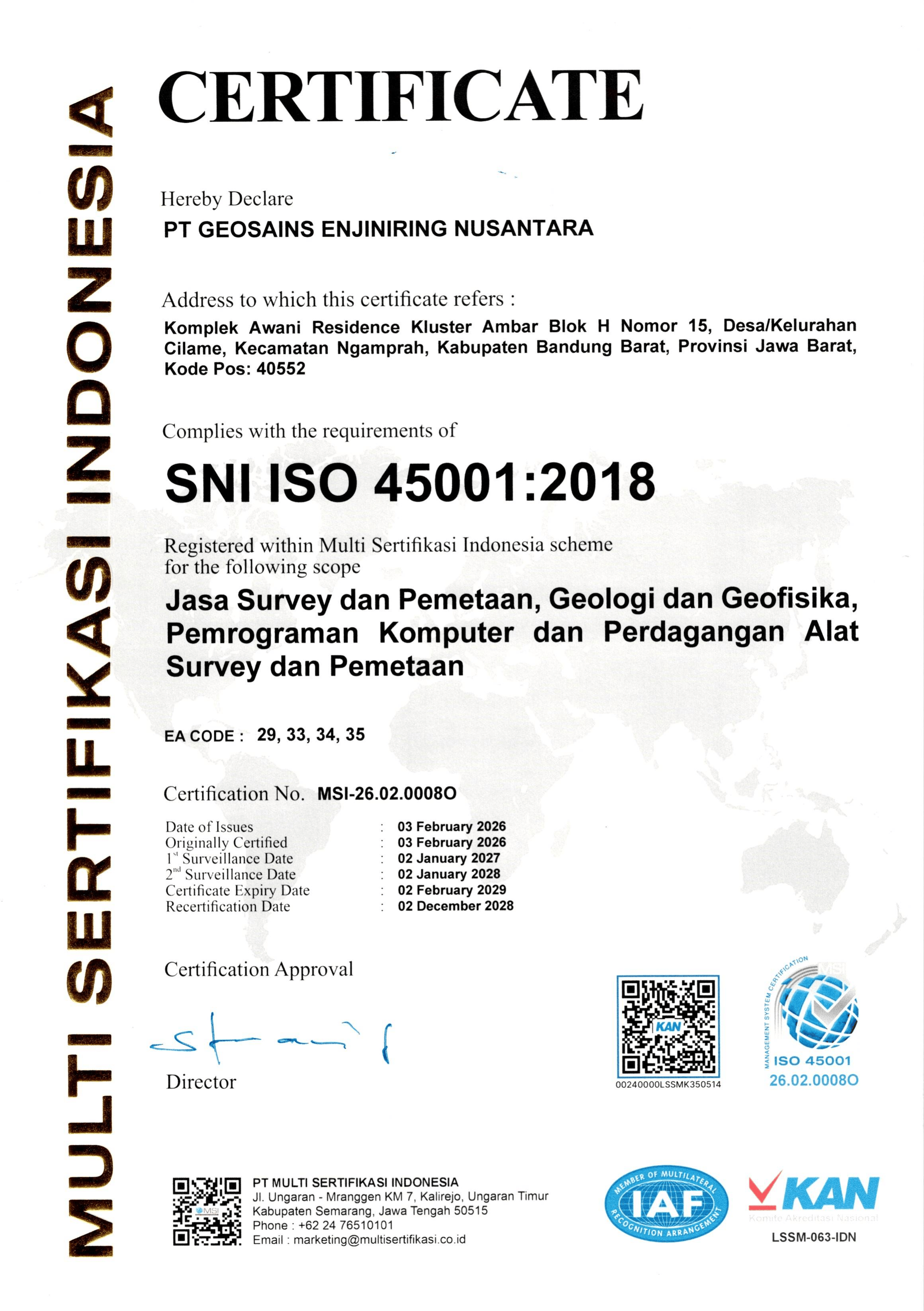
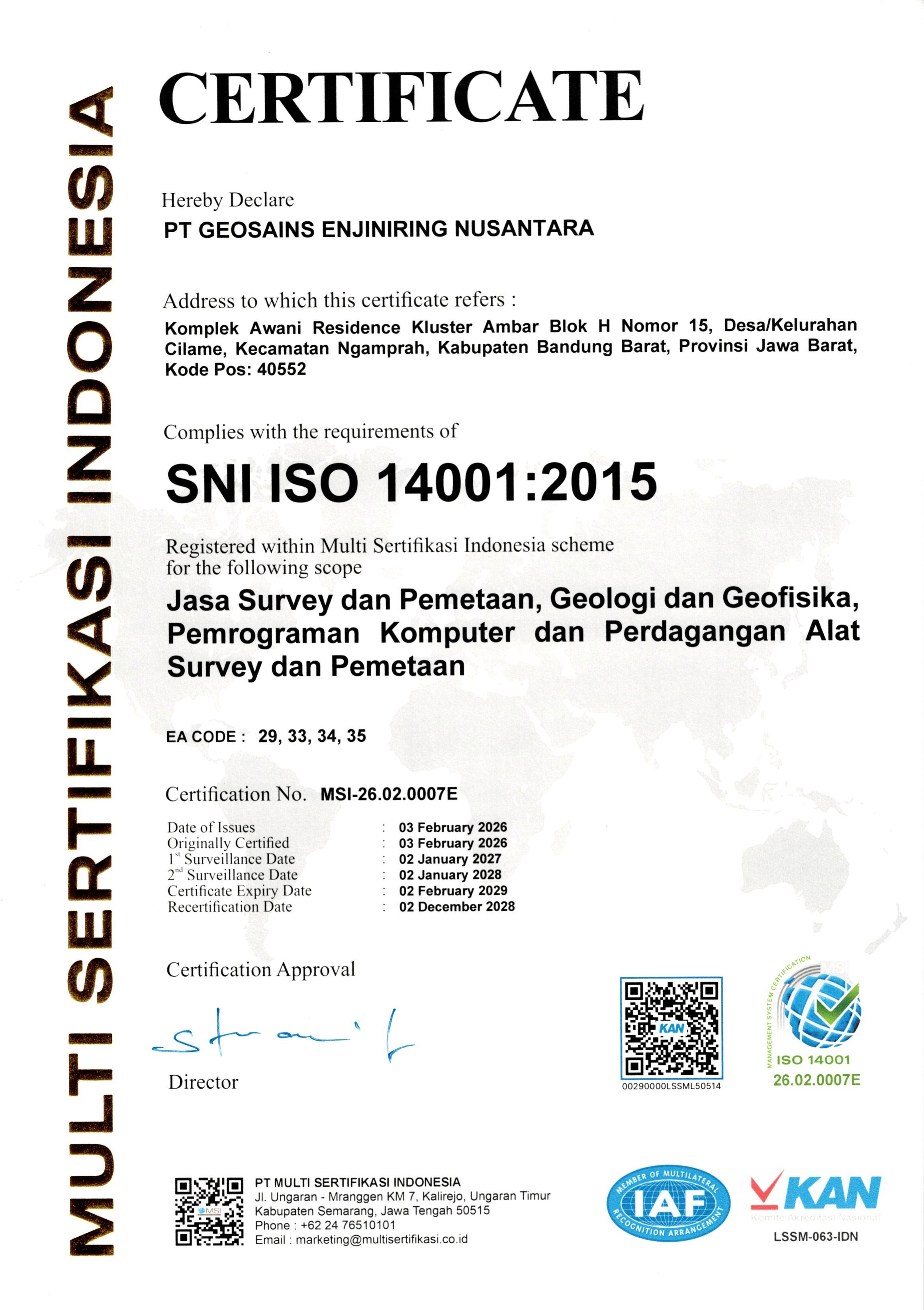
Our unwavering commitment to delivering highly professional services is further demonstrated through our integrated management system certifications, which include SNI ISO 9001:2025 (Quality Management), ISO 45001:2018 (Occupational Health and Safety), ISO 14001:2015 (Environmental Management) across all project executions.
SNI ISO 9001:2015
SNI ISO 45001:2018
SNI ISO 14001:2015
Services
Surveying
Engineering Survey & Geomatics Services
Geospatial Solution & Remote Sensing Intelligence
Geological, Geotechnical Mapping and Drilling Services
Geophysical Survey and Subsurface Imaging
Metocean Studies, Hydrographic and Marine Survey
Socio – Enviro Survey
Engineering Survey & Geomatics Services
Energy & Mining Support: Onshore seismic acquisition assistance, exploration surveys for mining, hydropower, and renewable energy projects.
Infrastructure & Building Surveys: High-precision engineering surveys, structural foundations support, and detailed topographic mapping.
Civil & Corridor Engineering: Long-and-cross section contour mapping, stake-out surveys, and corridor route surveys for pipelines, power lines, and highways.
Industrial Site & As-Built Planning: Comprehensive as-built surveys, drill rig site planning, and plant layouts verification.
3D Laser Scanning & Reality Capture: Terrestrial Laser Scanning (TLS) for advanced as-built documentation, facility mapping, and high-density 3D modeling.
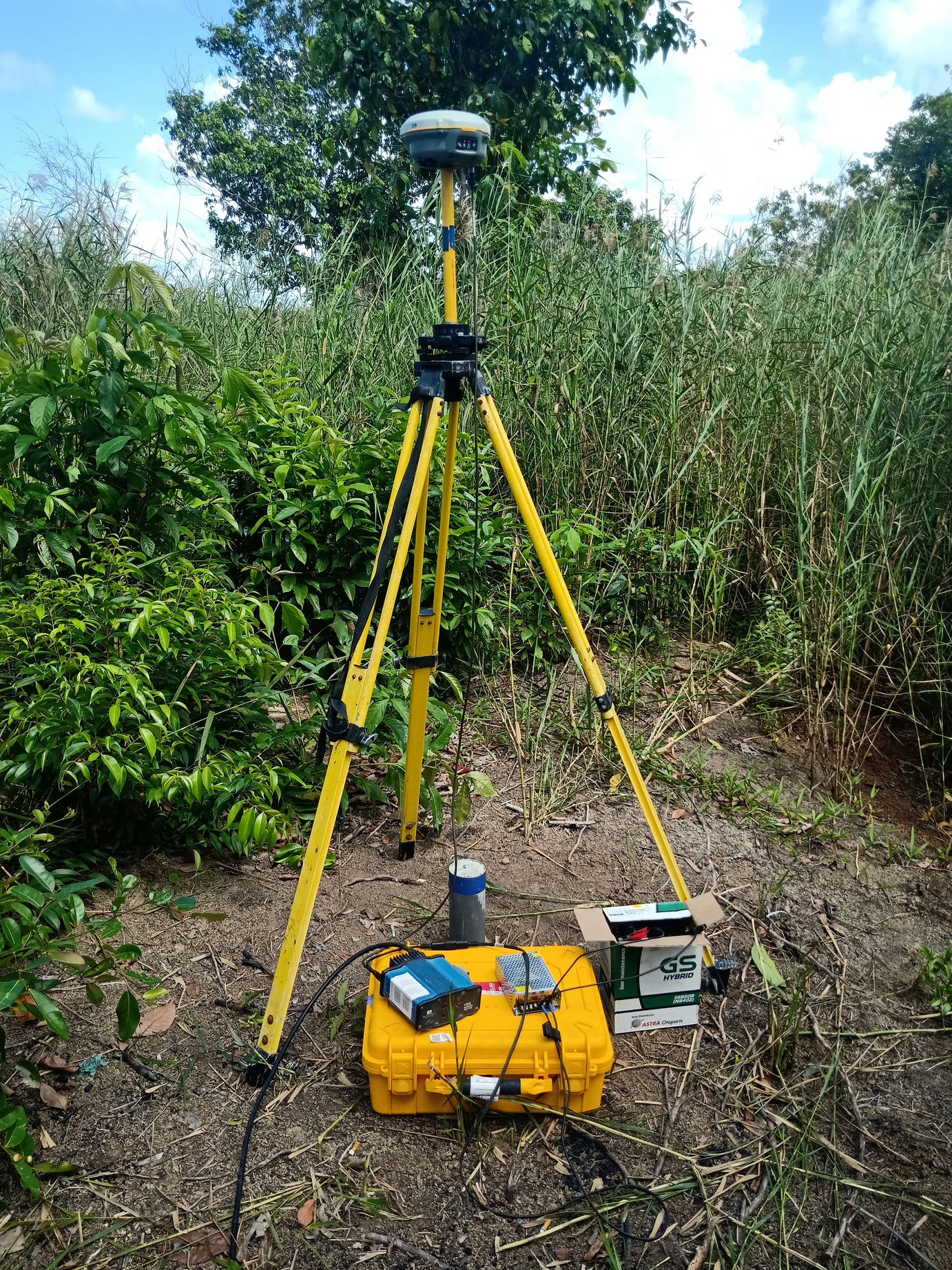
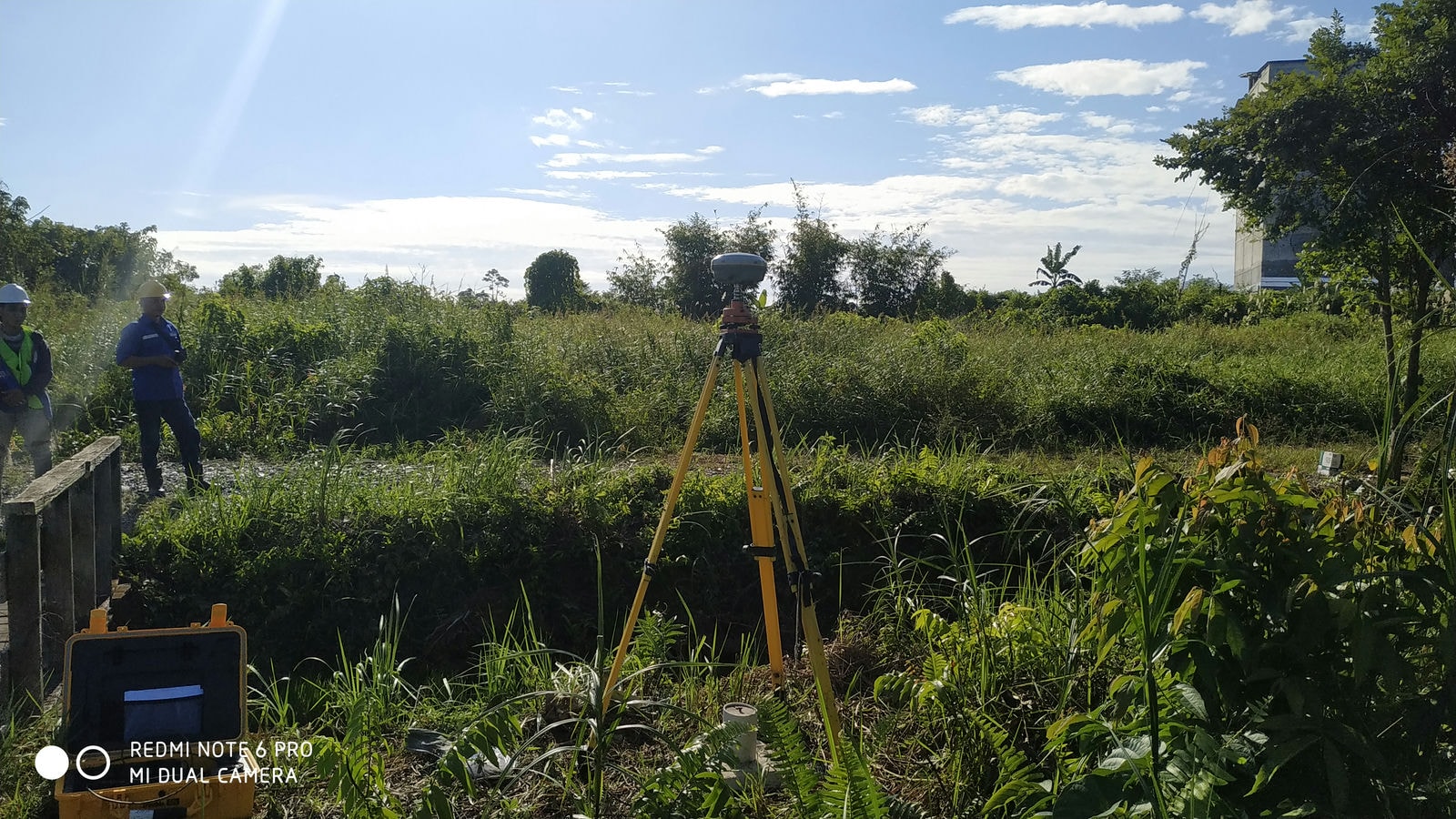
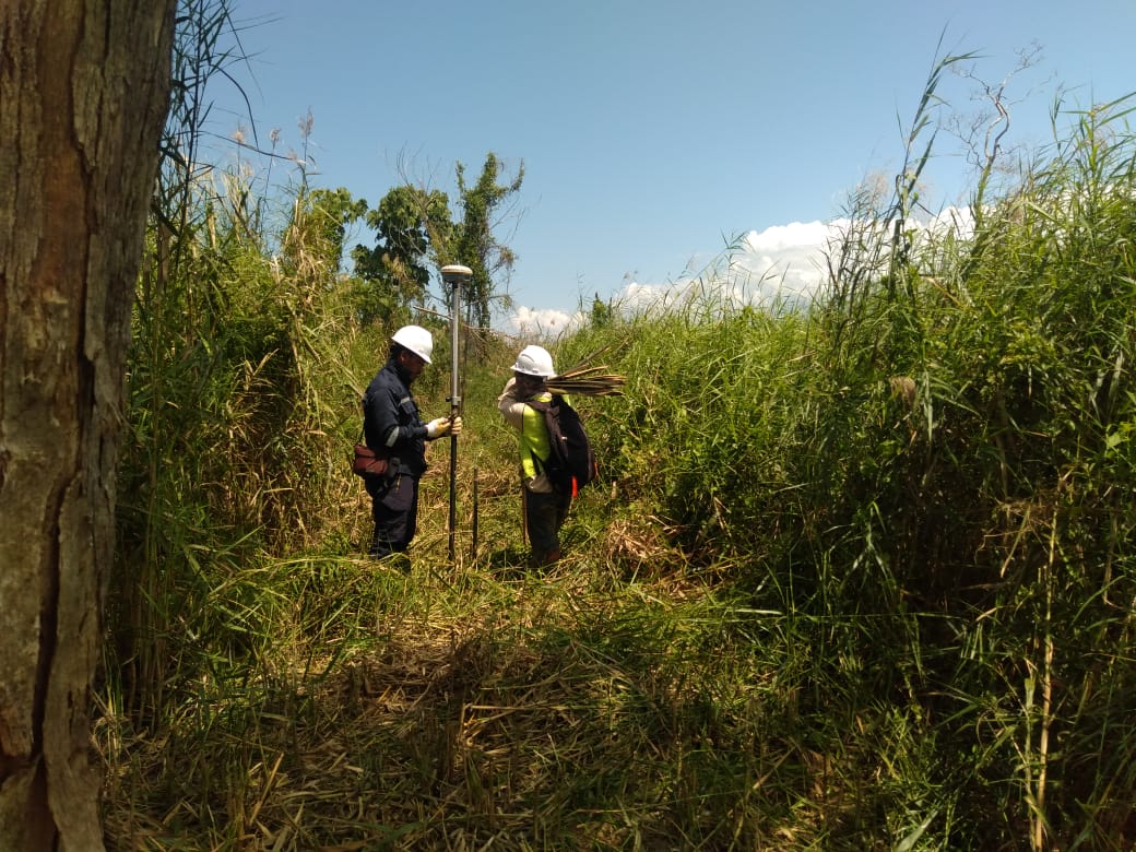
Geodetic Control & Geodynamics: High-precision GPS/GNSS observations, GCP measurements, and long-term deformation, slope stability, and subsidence monitoring.
Geographic Information System (GIS): Asset & utilities database development (pipeline, road, gas distribution), tax/cadastral mapping, and hazard/risk vulnerability maps.
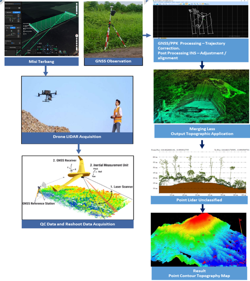
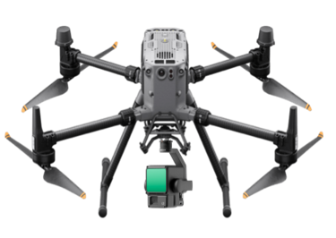
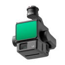
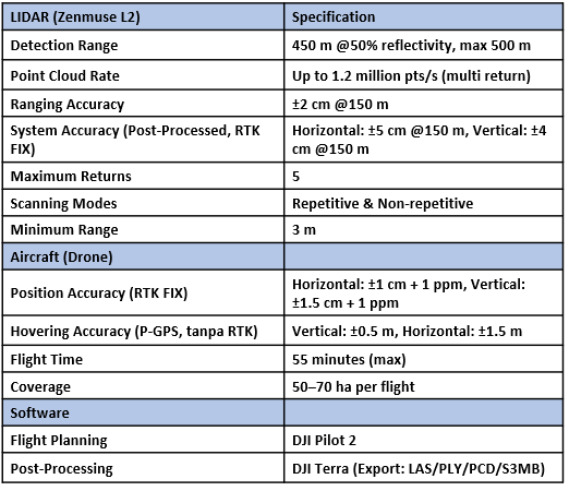
Airborne & UAV LiDAR Mapping: High-density LiDAR data acquisition, 3D terrain modeling, contour mapping, and corridor surveys for mining, forestry, and infrastructure.
UAV Photogrammetry & Remote Sensing: Precision drone mapping, automated oil palm census, concession boundary mapping, and vegetation index analysis.
Aerial Surveillance & Monitoring: Real-time project progress tracking, pipeline right-of-way (ROW) surveillance, and industrial site security monitoring.
Geological, Geotechnical Mapping and Drilling Services
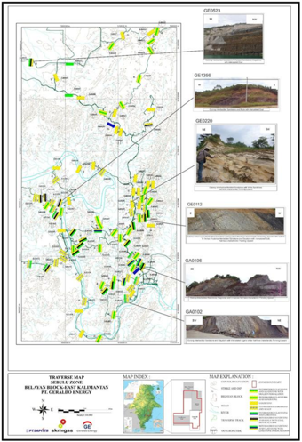
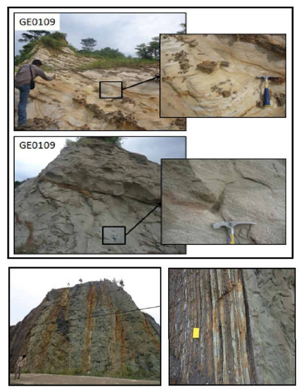
Geological Mapping & Fieldwork: Comprehensive field surveys, structural geology mapping, outcrop observations, and stratigraphic correlation for resource evaluation.
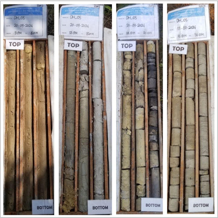
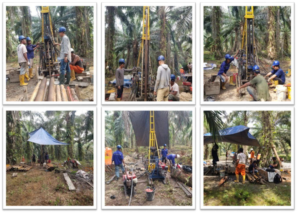
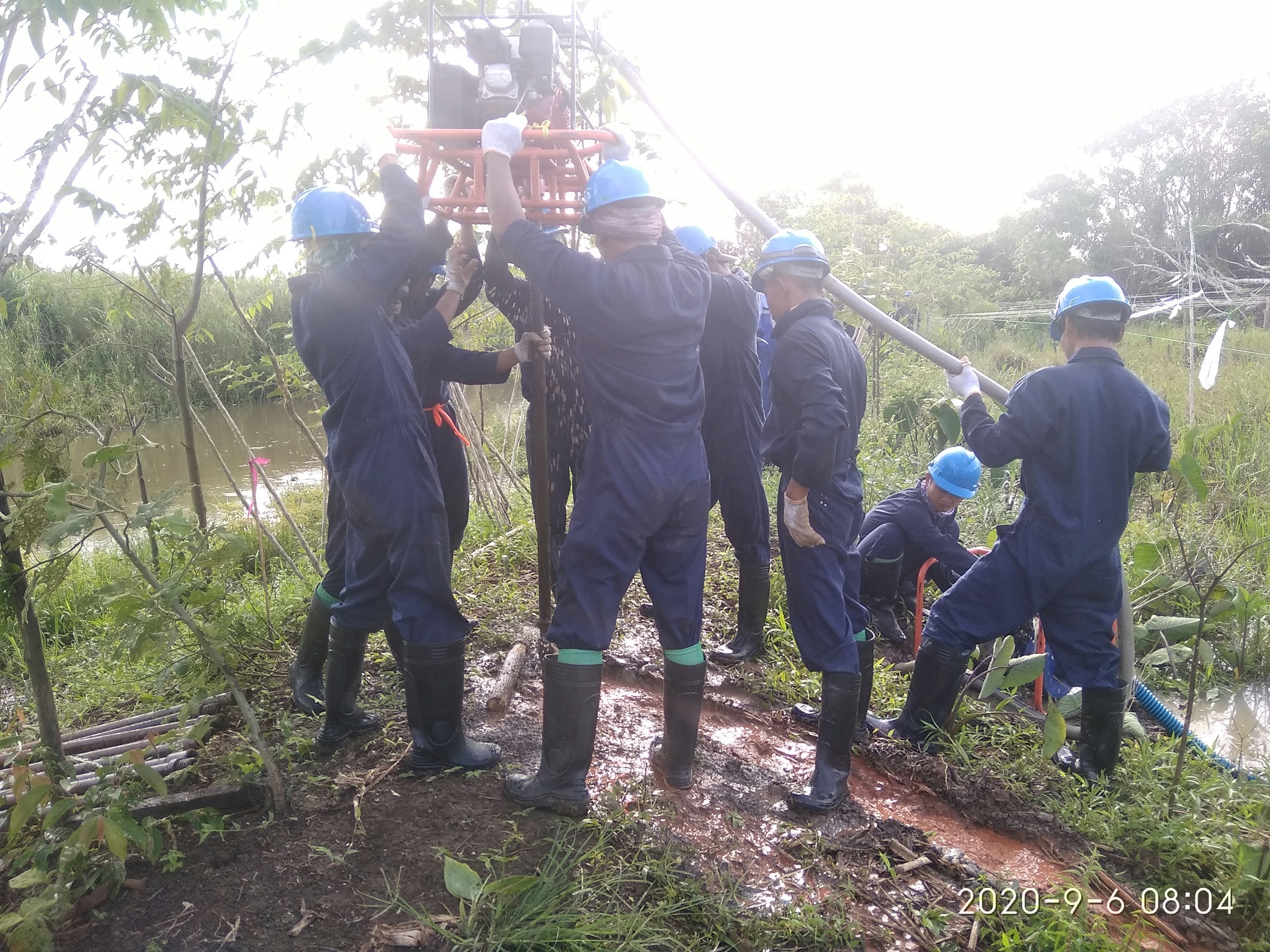
Mineral & Coal Drilling Exploration: Core drilling operations (NQ, HQ, PQ sizes), chip logging, sample management, and resource estimation support for mining concessions.
Geotechnical Drilling & In-Situ Testing: Geotechnical engineering drilling, Standard Penetration Test (SPT), Cone Penetration Testing (CPT/Sondir), and undisturbed sample (UDS) collection for civil construction foundations.
Hydrogeological & Groundwater Drilling: Deep well drilling, water well construction, pumping tests, and aquifer analysis for industrial, municipal, and commercial groundwater management.
Engineering Geology Studies: Slope stability analysis, rock mass rating (RMR), soil mechanics field assessment, and site investigation for infrastructure projects.
Geophysical Survey and Subsurface Imaging
2D Marine Seismic Operations: High-quality 2D marine seismic data acquisition, advanced processing, and onsite Quality Control (QC) for offshore hydrocarbon exploration.
2D Onshore Seismic Operations: Precision 2D land seismic data acquisition, processing, and strict data QC for deep geological and structural mapping.
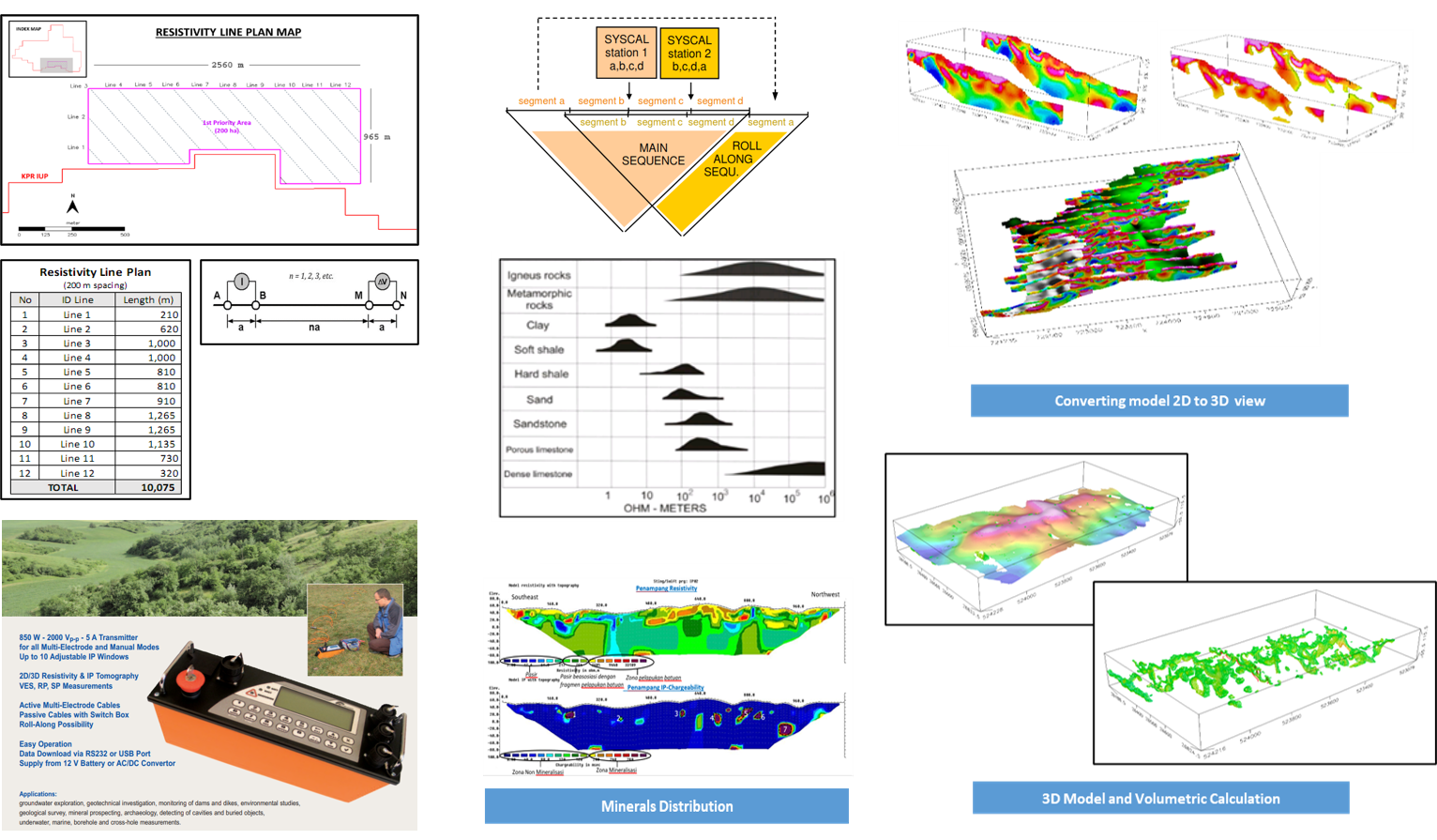
Geoelectric & Resistivity Exploration: Multi-channel 2D/3D resistivity surveys, Induced Polarization (IP), and vertical electrical sounding for groundwater aquifer detection and mineral deposit exploration.
Advanced Geophysical Investigations: Controlled-Source Audio-frequency Magnetotellurics (CSAMT), Seismic Refraction, and Ground Penetrating Radar (GPR) for deep mining structures, oil and gas exploration, and hydropower site validation.
Underground Utilities & Engineering Geophysics: High-resolution shallow subsurface imaging for buried pipeline/cable detection, urban infrastructure planning, and civil engineering foundation support.
Metocean Studies, Hydrographic and Marine Survey
Metocean Studies & Oceanography: High-precision measurement and analysis of ocean currents, wave direction/height, tidal gauge deployment, and meteorological data for coastal and offshore engineering design.
Hydrographic & Bathymetric Surveys: Onshore, nearshore, and offshore singlebeam and multibeam echosounder (MBES) surveys, shipping channel charting, and pre/post-trenching volume calculations.
Analogue Geophysical & Site Surveys: High-resolution seabed and subsurface mapping utilizing Side Scan Sonar (SSS), Sub-Bottom Profiling (SBP), Marine Magnetometer, and marine geohazard assessments.
Pipeline & Cable Route Engineering: Pre-engineering route selection surveys, burial assessment, as-laid/as-built verification, and regular inspection of existing subsea pipelines and cables.
Offshore Positioning & Construction Support: Precision positioning for rig moves, barge deployment, anchor handling, jacket installations, and integrated ROV & commercial diving operational support.
Integrated Subsurface & Reservoir Modeling: Advanced integration of geological, geophysical, and petrophysical data for comprehensive static and dynamic reservoir modeling.
Resource & Reserve Estimations: High-precision calculation of mineral and coal resources and reserves compliant with international and national reporting standards.
Conceptual & Facility Engineering Design: Front-End Engineering Design (FEED), conceptual layout development, and technical engineering specifications for mining, oil, gas, and energy infrastructure.
Comprehensive Feasibility Studies: Technical, economic, and operational feasibility studies (FS) to de-risk investments and secure project financing for major energy and resources developments.
Environmental & Social Impact Assessments: Development of comprehensive environmental assessment documents (EIA/AMDAL/UKL-UPL), environmental management plans, and sustainability compliance reporting.
Geological, Geotechnical Mapping and Drilling Services
Geophysical Survey and Subsurface Imaging
Metocean Studies, Hydrographic and Marine Survey
Socio – Enviro Survey
ASSET MONITORING and INSPECTION
UAV Palm Census & Block Mapping
Road an Infrastructure Surveillance.
Independent Engineering Surveyor Support
3D Lasers Scanning
Our Services
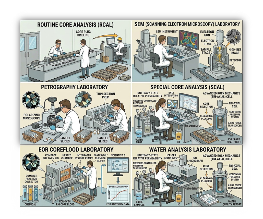
PT GEN has established a strategic collaboration with TerraLab Eksergi to enhance our laboratory analysis capabilities. This synergy ensures comprehensive, integrated, and high-quality testing solutions and deliver one-stop service experience for our clients.
Laboratory Analysis
Routine & Special Core Analysis (RCAL & SCAL)
Comprehensive laboratory measurements of porosity, permeability, fluid saturation, capillary pressure, relative permeability, and wettability characteristics.
Biostratigraphic & Palynological Analysis
High-resolution microfossil and pollen analysis for precise geological age determination, stratigraphic correlation, and depositional environment reconstruction.
Petrographic & Mineralogical Studies
Detailed thin-section petrography, rock fabric characterization, diagenetic history assessment, and mineral identification.
Advanced Materials Characterization (SEM & XRD)
Scanning Electron Microscopy (SEM) and X-Ray Diffraction (XRD) analysis for high-magnification clay mineralogy, pore-structure imaging, and elemental composition mapping.
Geomechanical Laboratory Testing
Static and dynamic rock mechanics testing, uniaxial/triaxial compressive strength, Young’s modulus, and Poisson’s ratio measurements for wellbore stability.
Enhanced Oil Recovery (EOR) Studies
Laboratory coreflooding experiments, chemical/gas injection simulations, and fluid-rock interaction studies to optimize reservoir recovery mechanisms.
Our Services
We provide comprehensive geoscience and surveying services to support energy and infrastructure with high accuracy, efficiency, and reliability
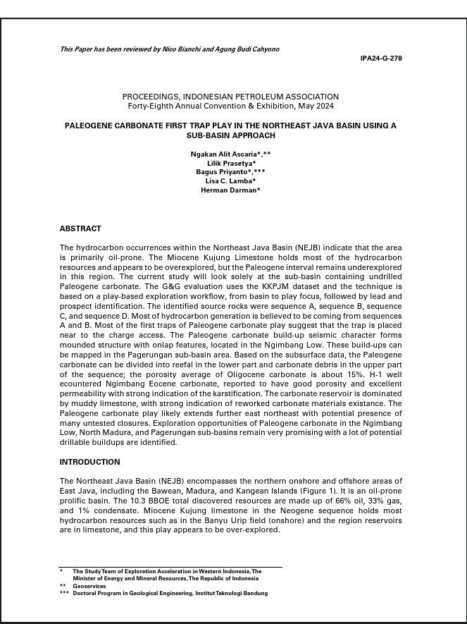
Ascaria, N. A., Prasetya, L., Priyanto, B., Lamba, L. C., & Darman, H. (2024). Paleogene carbonate first trap play in the Northeast Java Basin using a sub-basin approach. In Proceedings of the Indonesian Petroleum Association, Forty-Eighth Annual Convention & Exhibition.
Project Capability
Exploration & feasibility studies
Engineering & design support
Construction & installation support
Pipeline & cable route survey
Environmental & hazard assessment
Monitoring & asset integrity
Environmental & hazard assessment
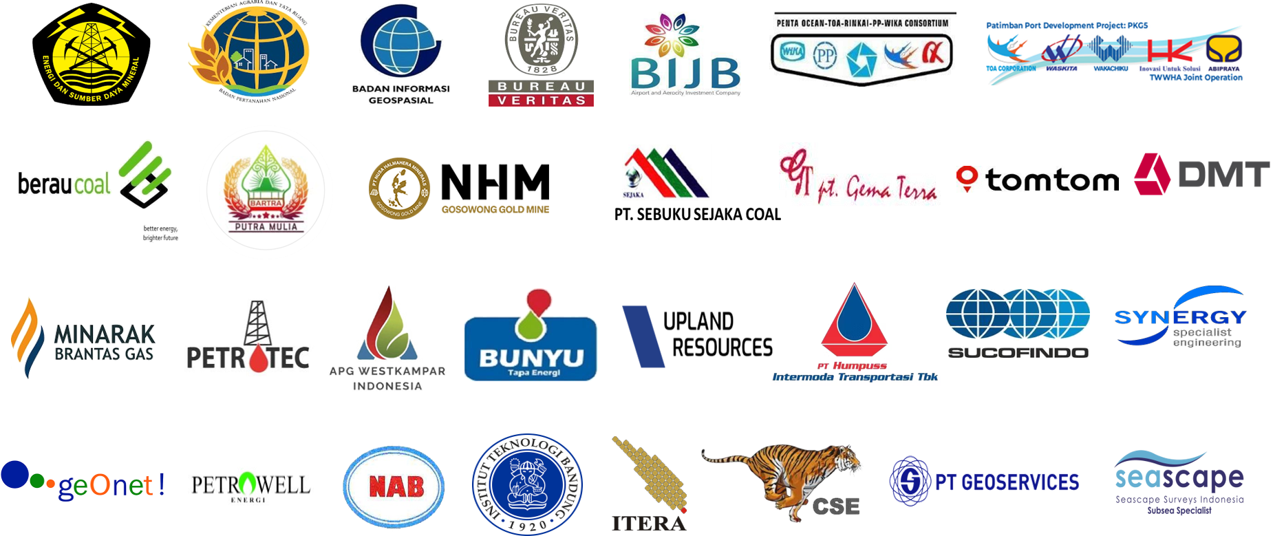
Our Clients
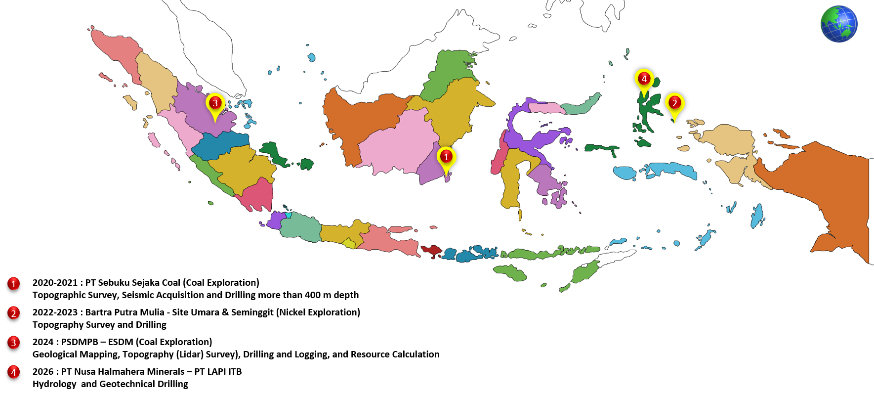
Our Project
Our Clients
Certification
SNI ISO 9001:2015
SNI ISO 45001:2018
SNI ISO 14001:2015
Geographic Information System and Remote Sensing
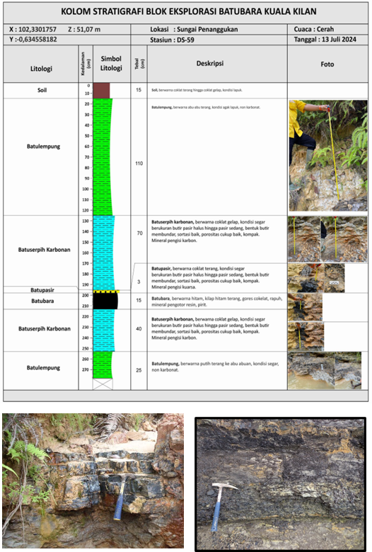
Geological Surface Mapping
Lintasan Geologi
Observasi Singkapan
Pengukuran Penampang Stratigrafi
ERT - Electrical Resistivity Tomography
Core Drilling
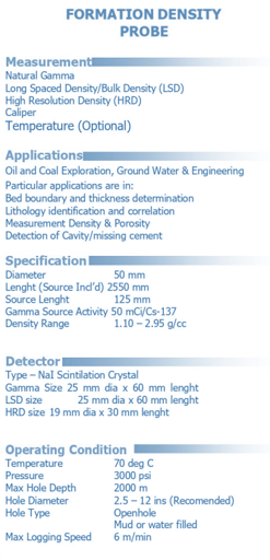
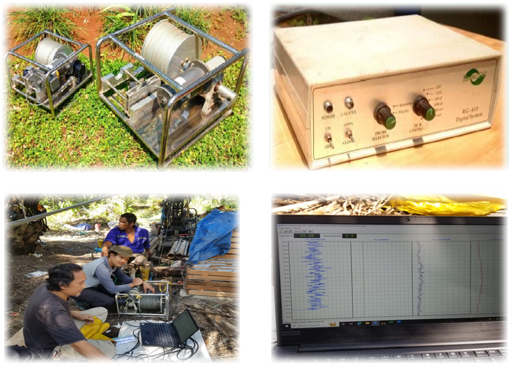
Geophysical Logging
Gallery
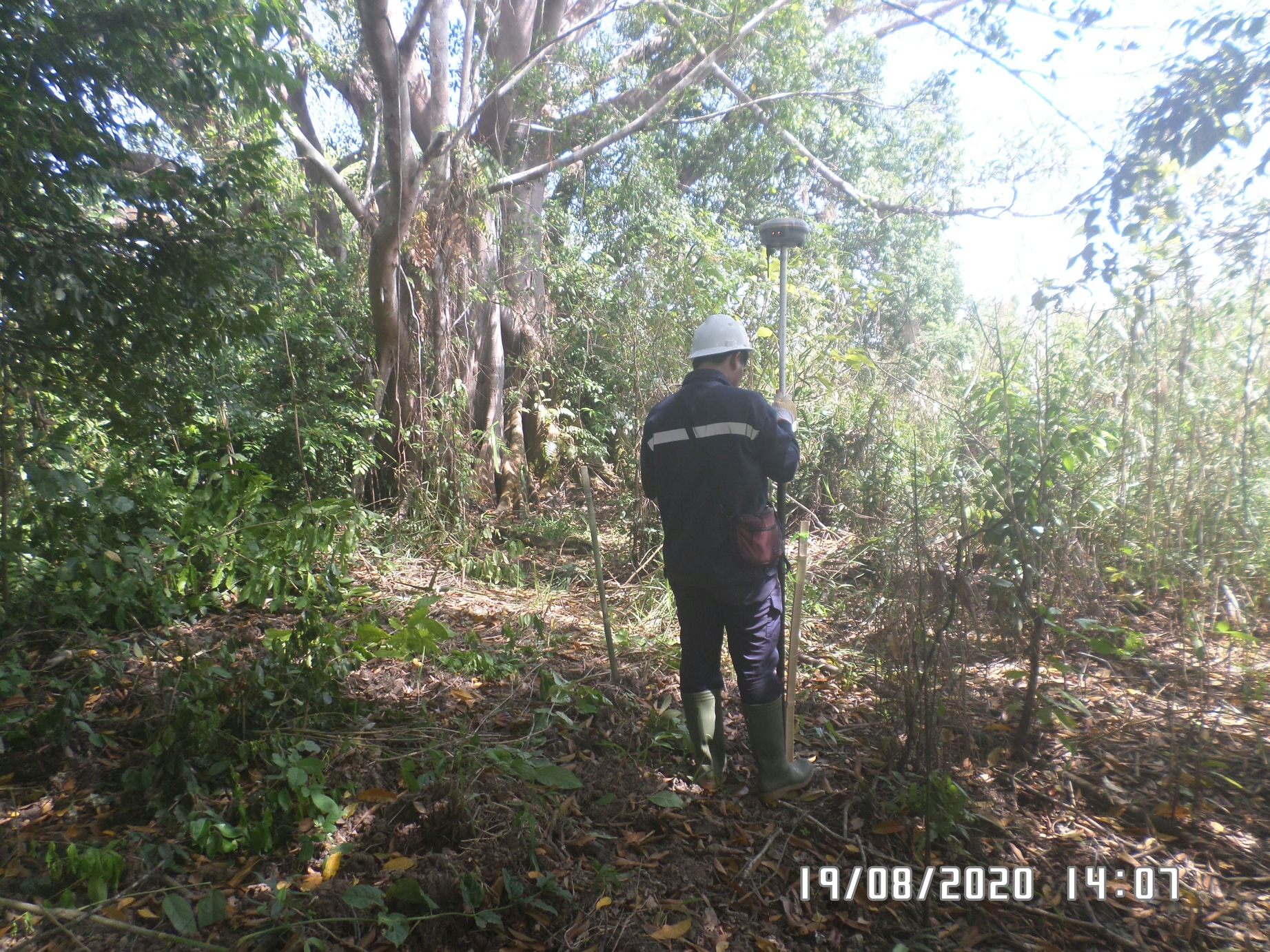
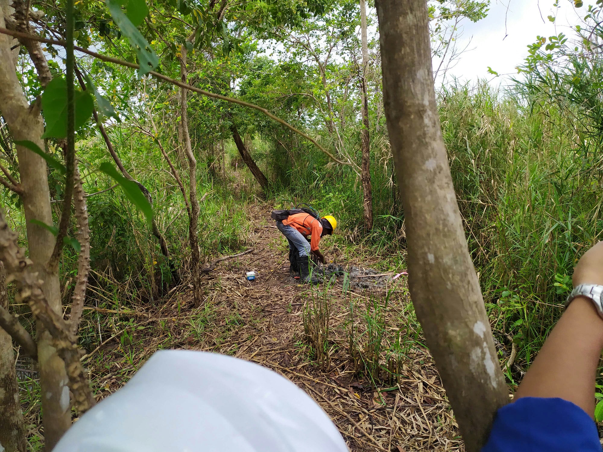
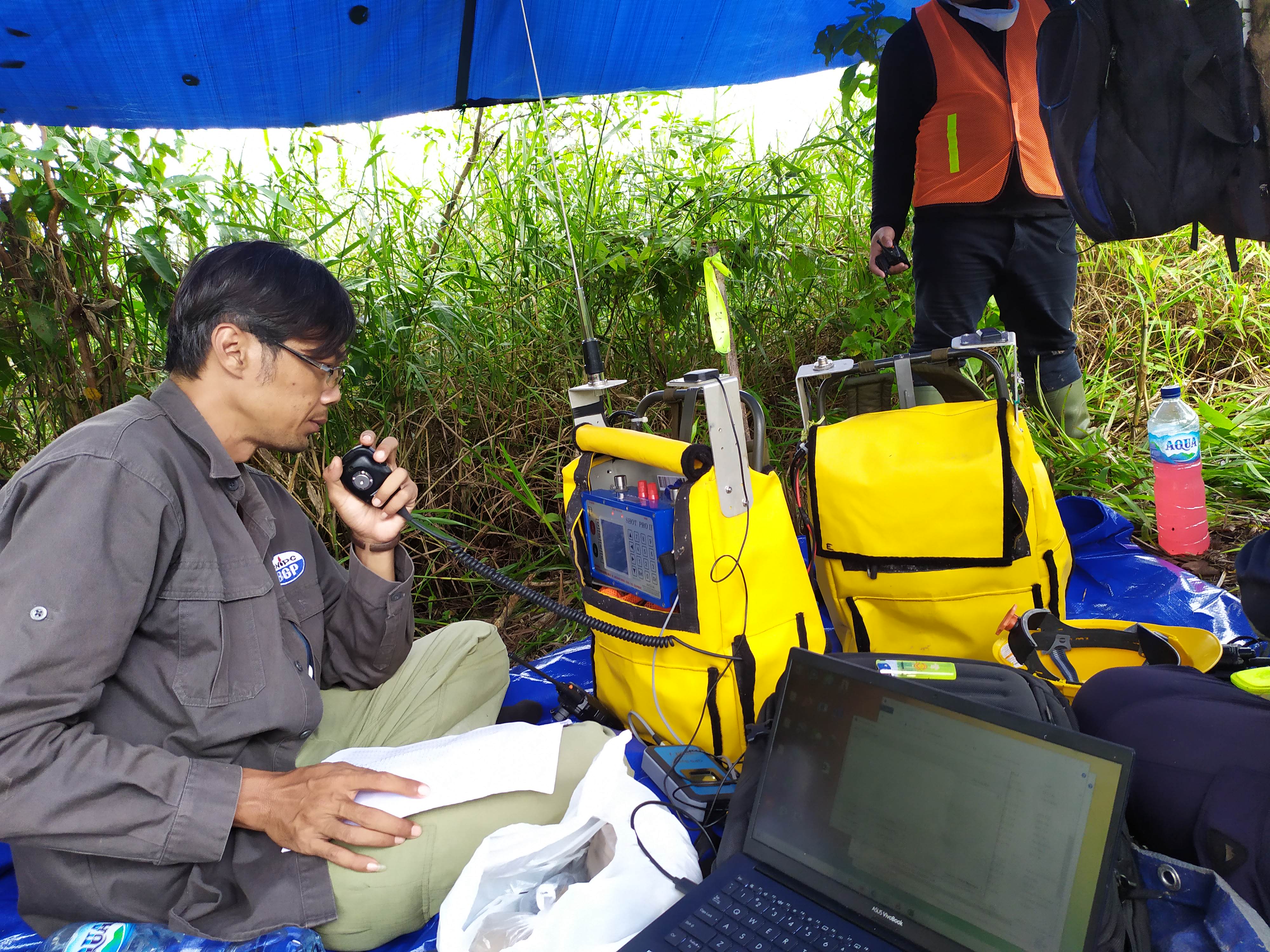
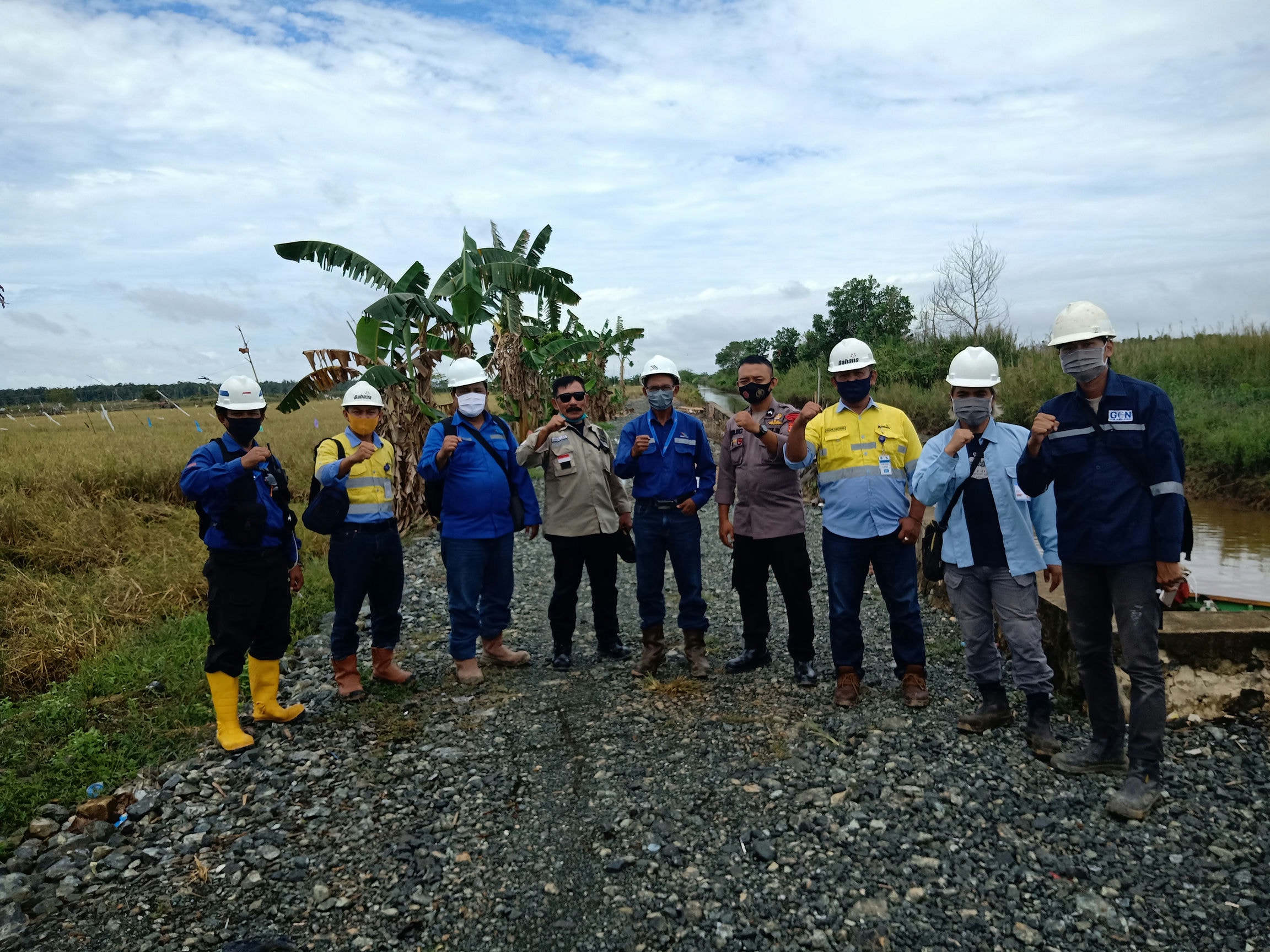
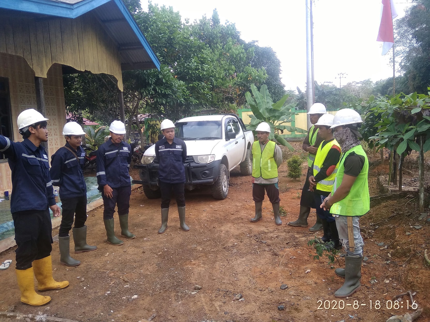
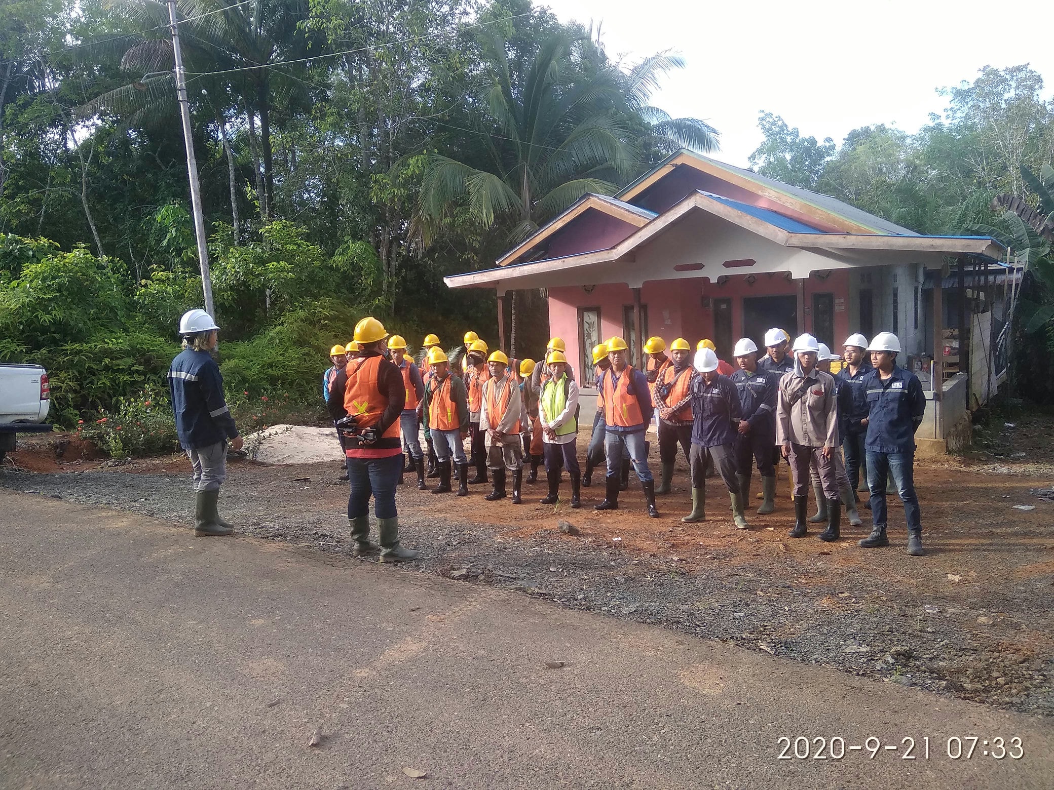
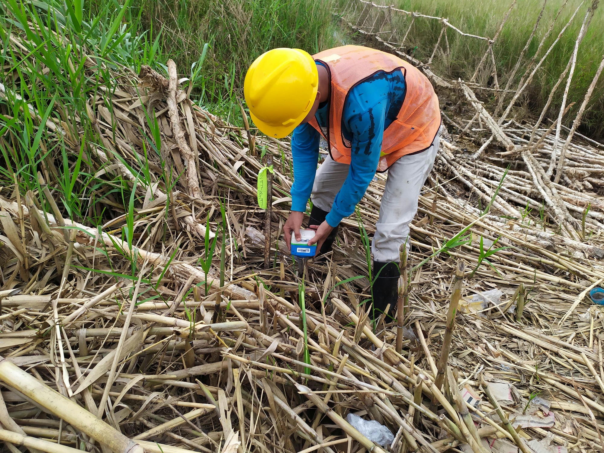
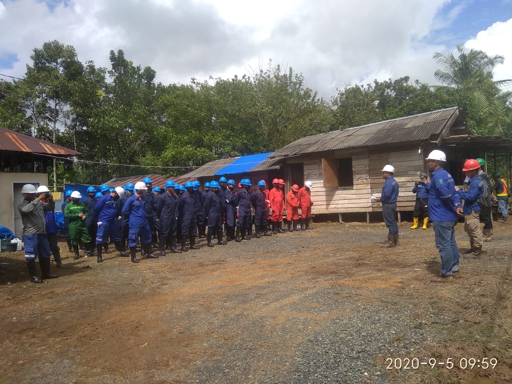
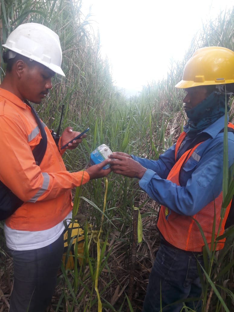
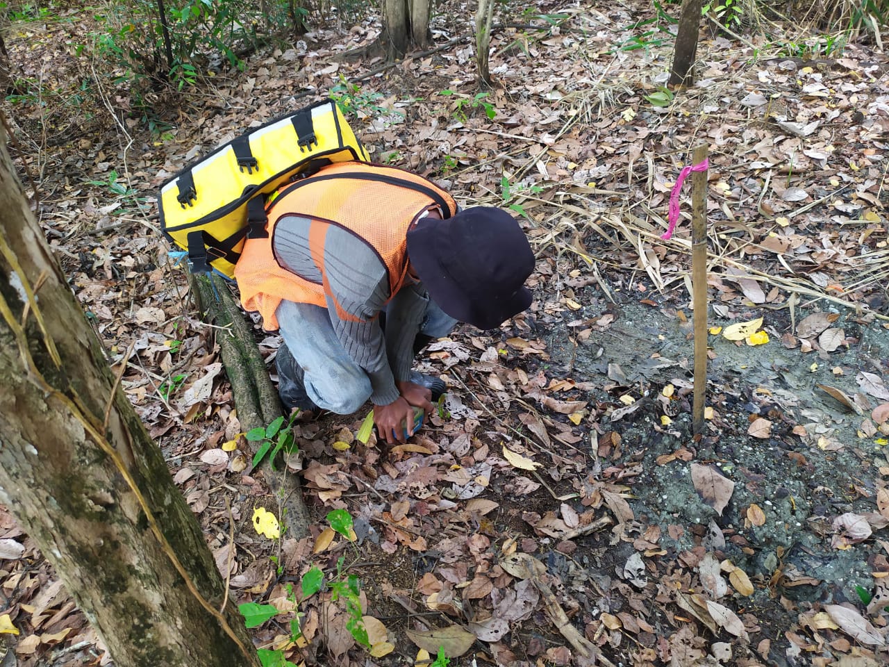
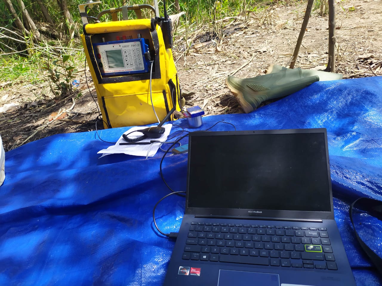
2020 - 2021 : PT Sebuku Sejaka Coal (Coal Exploration) Topographic Survey, Seismic Acquisition and drilling more than 400m depth
SAMSUNG CAMERA PICTURES
oppo_0
oppo_32
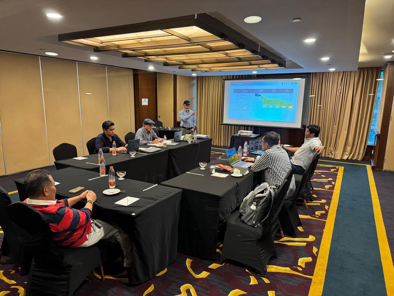
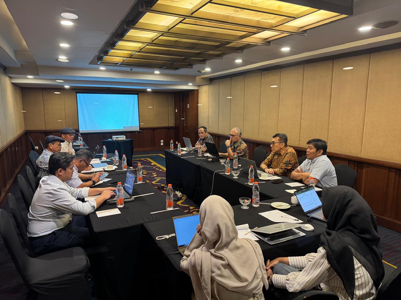
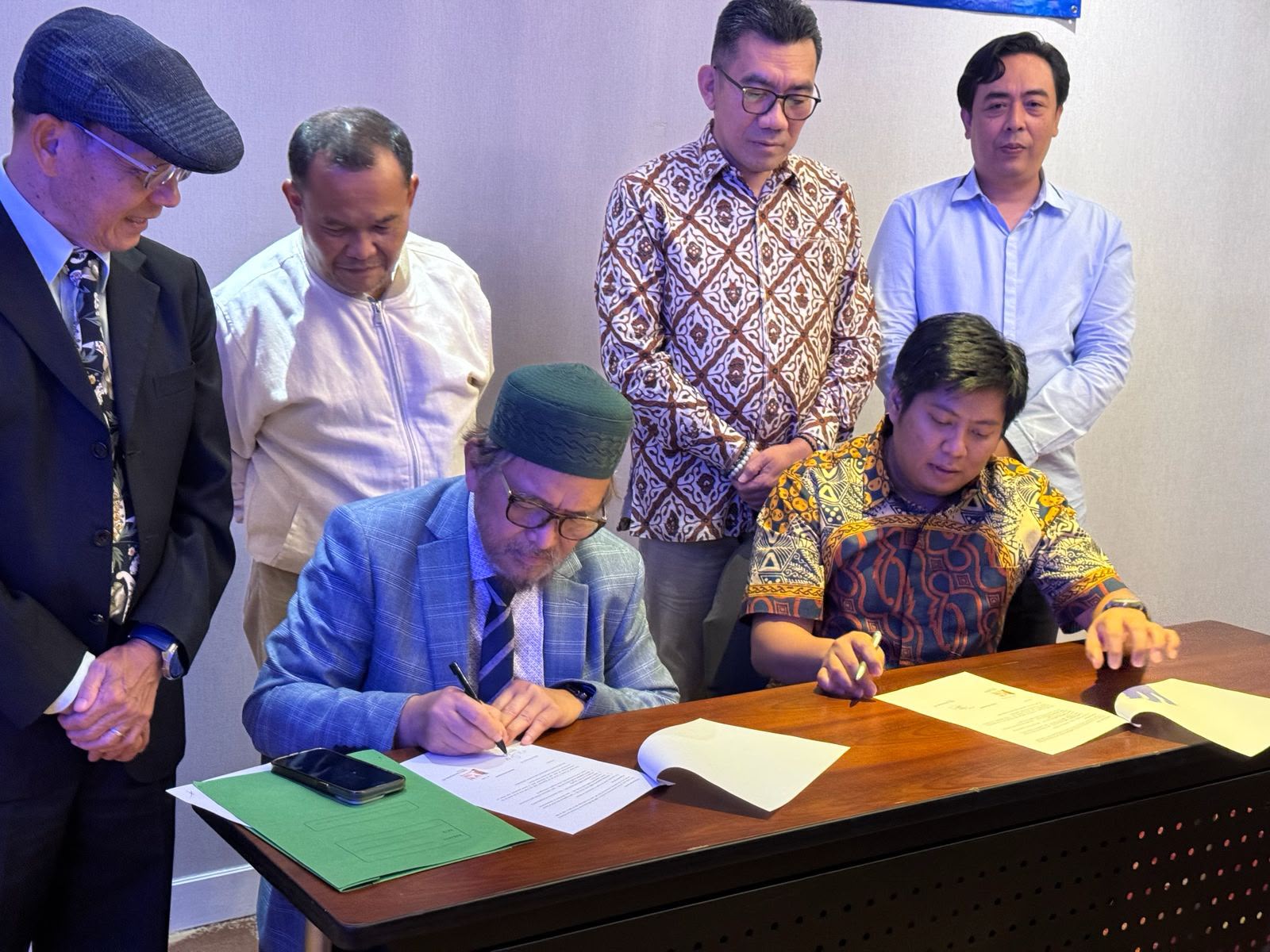
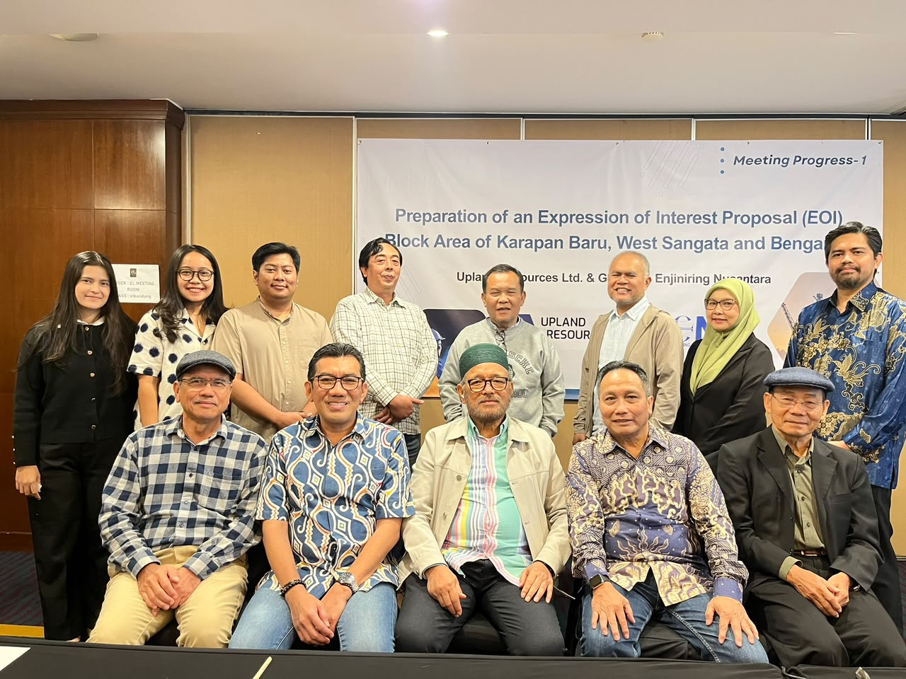
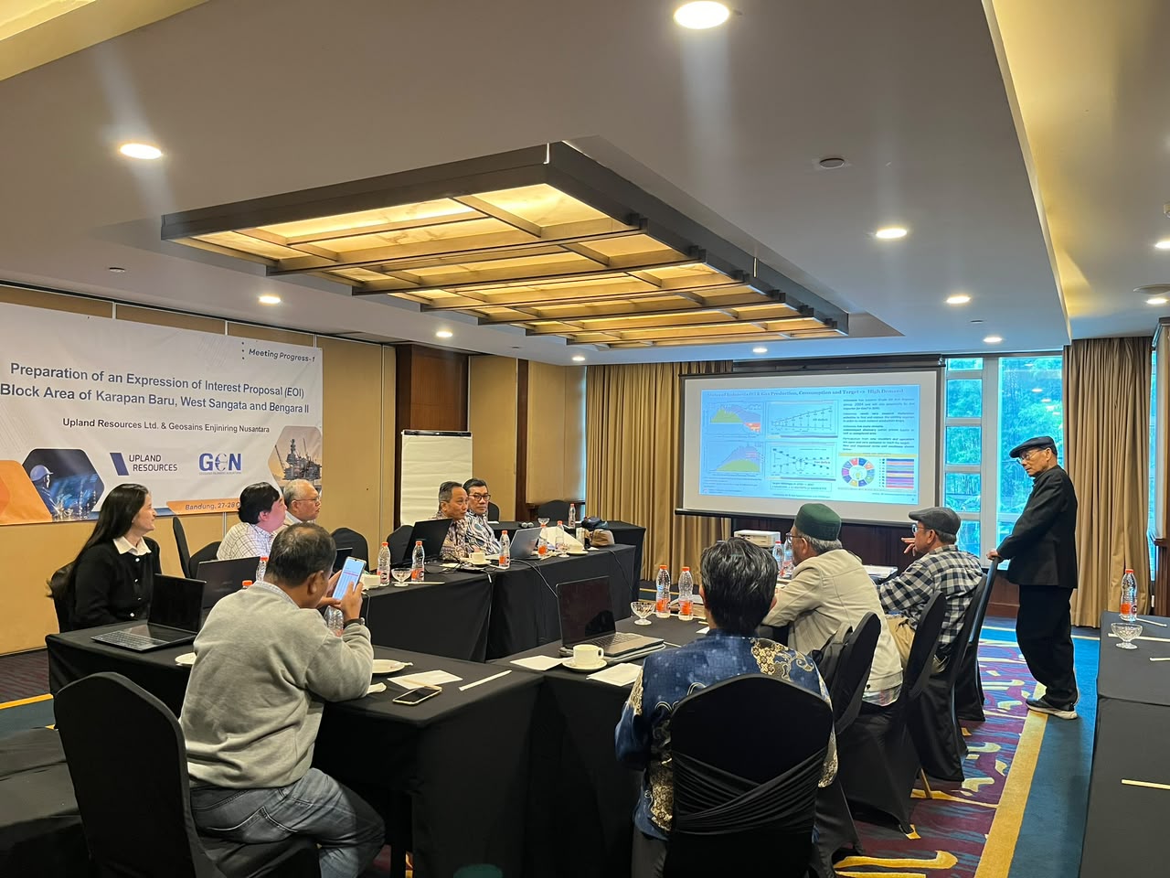
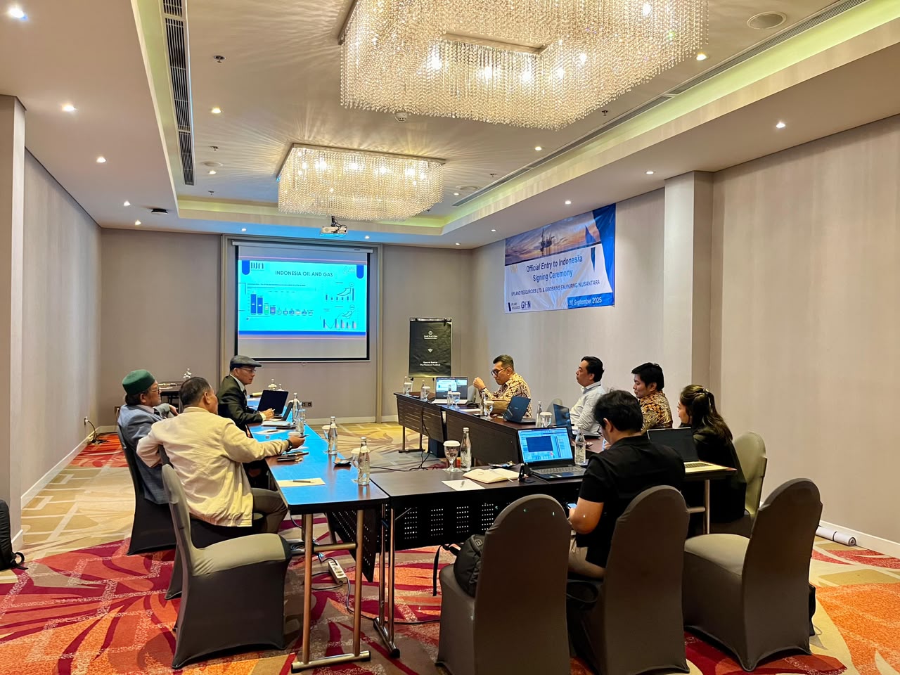
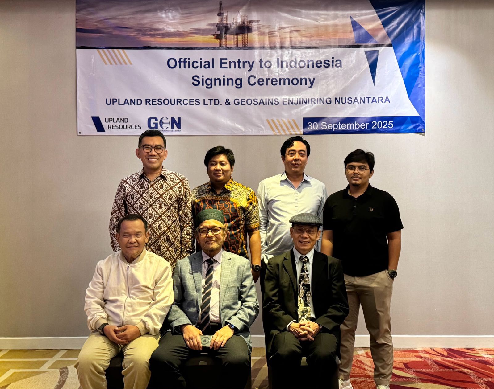
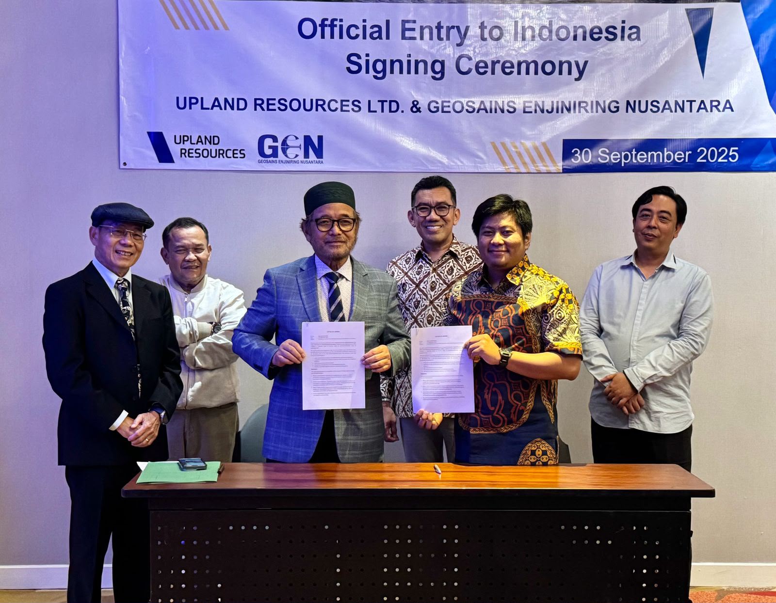
Kerjasama GEN & Upland
Contact Us
We are ready to support your project with reliable, efficient, and high-quality geoscience and surveying solutions.
Email
survey@geosainsenjiniring.com
Phone
+62 22 8778 1828
Office
Jalan Ambar Utara No. H 15, Awani, Cimareme, Bandung Barat 40552
Workshop
Jl. Terusan Cisokan No. 08, Cihaur Geulis, Kec. Cibeunying Kaler, Kota Bandung, Jawa Barat 40122